Sessions
Appreciation/Review of properties of Gravity, Magnetic and electromagnetic data (.5 hrs)
What are we measuring and why?
What can we measure in spatial resolution terms?
How do they image the subsurface?
Awareness: Current State of Art (CSA) and new technology.
The role of Non-Seismic Technology in Exploration (0.5 hrs)
What are the historical reasons for using non-seismic data?
What are the current principal applications and industry uptake?
How is the data able to add value to a subsurface interpretation?
How can the data help eliminate uncertainty and de-risk prospectivity?
Regional versus local scale data Utility (0.75 hrs)
How has ‘Public Domain’ Satellite derived data changed the game?
How can these data be integrated with local scale data sets?
What additional subsurface information is gained from regional to local scale integration?
The decision to use non seismic methods (0.75)
Defining the need for the survey in the first instance?
How are non-seismic methods complimentary to seismic methods?
What can be done to aid seismic imaging ambiguity?
Data Sensitivity and Feasibility Testing and Modelling, e.g., are the survey and data a viable course of action?
Can the data set be utilised to define project aims and objectives, e.g.,Can we image the target at a certain depth?
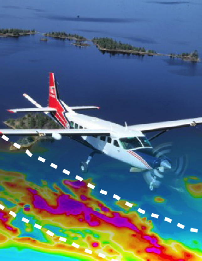
Data Acquisition and Processing (2 hrs)
Field acquisition and survey design?
Data QC – Is the data fit for purpose?How do we undertake data QC and characterise the data?
Why do we need Gravity and Magnetic Field reduction and correction?e.g.,What is a terrain correction and why is it desirable?
Determining the need for further data conditioning?e.g.,What type of filtering or noise suppression may be useful?
What are the typical acquisition and processing workflows?
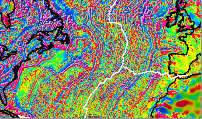
What is data transformation and how is it useful? e.g.,What can we do to help further delineate the source body geometry and edge detection
What are the implications of regional trend separation and removal upon the local scale anomaly?e.g.,What is the impact of deep crustal features?
What is frequency filtering or pseudo depth slicing and how is it utilised to aid data interpretation?
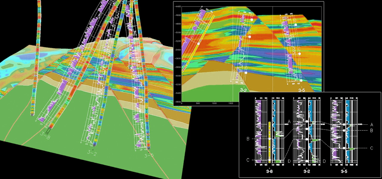
Unit 6 Data integration, inversion and interpretation workflows (2 hrs)
How do we define an effective integration and interpretation strategy to address project aims and objectives?
What type of workflows are possible?
What are the typical qualitative and quantitative workflows?
What is involved in depth inversion process and how can it be used effectively?
What are the uncertainties for the integration of seismic and non-seismic data sets?
How to utilise Euler and Werner Deconvolution methods to determine depth to source
How to utilise spectral imaging techniques (e.g., SPI) to determine depth to source.
How to utilise grid-peak analysis in lineament detection/analysis.
Awareness: Joint CSEM/Seismic full waveform inversion.
Integration with rock physics modelling/inversion.
Various Case studies form learning via example.